
Europe’s Most Interesting Border Cities with a Dual Cultural Heritage
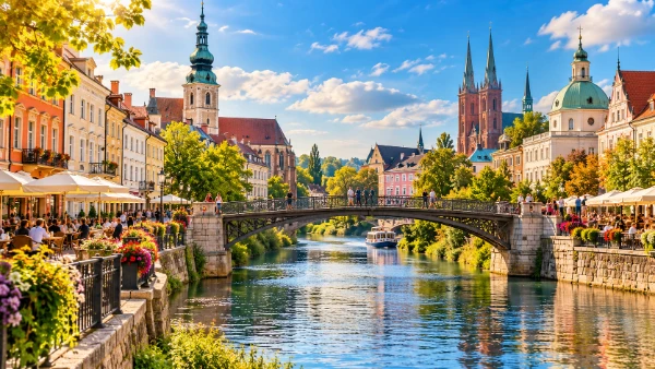
Some European borders are little more than a line on a map, yet in a handful of cities that line runs directly through everyday life. Streets, bridges, languages, architecture and family histories can belong to two national stories at once. The most revealing examples are not simply towns close to a frontier, but places that were once united, later divided and are now learning to function together again. Görlitz and Zgorzelec on the German–Polish border, Cieszyn and Český Těšín between Poland and Czechia, and Valga and Valka between Estonia and Latvia each represent a different version of this shared heritage. They are compact enough to cover largely on foot, rich in visible history and, in 2026, connected by open Schengen borders that make moving from one cultural setting to another part of an ordinary walk.
Görlitz and Zgorzelec: one historic city on two banks of the Neisse
Görlitz in eastern Germany and Zgorzelec in western Poland face one another across the Lusatian Neisse. Until 1945 they formed a single German city. The post-war settlement moved the German–Polish border to the Oder–Neisse line, leaving the historic centre on the western bank in Germany and the eastern districts in Poland. That change turned neighbourhoods which had developed as parts of one urban area into two municipalities in different states. The physical distance is tiny, but the twentieth-century histories on either side developed in sharply different political and cultural settings.
The German side is especially noted for its remarkably complete historic fabric. Görlitz contains buildings from the Gothic, Renaissance, Baroque, Gründerzeit and Art Nouveau periods, and much of its historic centre escaped wartime destruction. Around Untermarkt and Obermarkt, richly decorated façades, arcaded courtyards and merchant houses preserve the appearance of a Central European trading city. Across the river, Zgorzelec carries another layer of the same story. Its riverside streets include the house associated with the seventeenth-century philosopher Jakob Böhme, while the Dom Kultury occupies the former Upper Lusatian memorial hall built around the turn of the twentieth century.
The border itself is now one of the most meaningful sights. The Old Town Bridge, rebuilt in 2003–04, restores a pedestrian connection destroyed at the end of the Second World War. Crossing it takes only a few minutes, yet the language on shopfronts, street names and menus changes immediately. Poland joined the European Union in 2004 and entered the Schengen Area in 2007, after which physical border infrastructure became far less prominent. Görlitz and Zgorzelec had already proclaimed themselves a European City in 1998, expressing their intention to reconnect an urban area that had been separated by one of the most consequential borders created in post-war Europe.
What makes the German–Polish heritage visible to visitors
The clearest way to understand Görlitz–Zgorzelec is to walk across both halves rather than treat them as unrelated destinations. Starting in Görlitz, the route through the historic centre shows the wealth accumulated by merchants on long-distance trade routes linking regions of Central Europe. Renaissance houses around Untermarkt are followed by Baroque buildings and later nineteenth-century quarters, giving a clear impression of how the city expanded before its division. From the riverbank, the view towards Poland also shows how closely the two sides still fit together as parts of the same urban landscape.
On the Polish side, the contrast is not simply a matter of one city being “old” and the other “new”. Zgorzelec contains surviving buildings from the pre-1945 city as well as architecture and public spaces shaped during the Polish post-war period. The Dom Kultury is particularly useful for reading this continuity. Constructed between 1898 and 1902 when both riverbanks belonged to Görlitz, the monumental building now operates as a Polish cultural institution. Its changing role is a clear example of dual heritage: the architecture belongs to an earlier German urban history, while its contemporary function belongs to the cultural life of modern Poland.
Time should be allowed for both riverbanks, especially the riverside streets and the bridges linking the centres. Cafés, cultural venues and pedestrian routes make the crossing feel routine rather than ceremonial, which is precisely what makes this pair distinctive. Görlitz–Zgorzelec is not merely a symbolic European project created for visitors. It is a functioning pair of neighbouring cities whose residents cross the frontier for work, shopping, cultural events and leisure. The most revealing detail is therefore an ordinary one: a historic cityscape that no longer ends where the state border begins.
Cieszyn and Český Těšín: Silesian identity divided by the River Olza
Cieszyn in Poland and Český Těšín in Czechia share a history reaching far beyond the modern border. Cieszyn developed as an important centre of the Duchy of Cieszyn and later formed part of the Habsburg lands. For centuries the surrounding region was inhabited by communities speaking Polish, Czech and German, alongside a substantial Jewish population. Religious diversity also left a strong mark on local culture. This layered identity is one reason why Cieszyn Silesia cannot be understood through a single national narrative, even though the two halves of its former urban centre now belong to different countries.
The decisive division came in 1920 after Poland and Czechoslovakia disputed control of Cieszyn Silesia. The River Olza became part of the boundary, with the historic centre remaining in Poland while the railway station and western districts became part of Czechoslovakia. Český Těšín subsequently developed its own administrative and commercial centre. The result is unusual: the Polish side preserves much of the medieval and early modern core, while the Czech side tells more of the story of a twentieth-century border town formed from districts that had previously served a larger, undivided city.
Cieszyn’s Castle Hill is one of the strongest places from which to understand the older history. The Romanesque Rotunda of St Nicholas and St Wenceslas, the Piast Tower and traces of the former ducal castle connect the city to medieval Silesia. Below the hill, the old town is arranged around its market square, with streets leading towards churches, former civic buildings and the river. Yet the feature that explains the modern city most clearly is only a short walk away: the bridges across the Olza, where a national frontier runs through what remains a continuous urban area.
Two centres, two languages and one Cieszyn Silesian story
Crossing into Český Těšín changes the atmosphere quickly. Czech replaces Polish on official signs, the street pattern reflects a more modern period of development, and the railway remains a prominent element of the town’s identity. This difference is historically logical rather than accidental. When the city was divided, institutions had to be duplicated or created from scratch, and the Czech side acquired administrative, commercial and cultural functions of its own. Walking between the two centres therefore shows how a border can create new urban identities rather than merely separate existing ones.
The broader regional culture remains visible in language, food, family connections and local traditions on both sides. Cieszyn Silesia has long been a meeting place of Polish, Czech, German, Jewish, Catholic and Protestant influences. That mixture is particularly evident in the region’s religious history and architecture, but it can also be noticed in local names, cuisine and customs. It explains why local identity is often more complicated than a simple division between Polish and Czech culture. For travellers, much of the value lies in recognising these overlaps rather than attempting to assign every building or tradition exclusively to one country.
The pair is particularly well suited to a slow day on foot because major points of interest on both sides are close to the river crossings. A practical route can combine Castle Hill and the old town of Cieszyn with the central streets and railway district of Český Těšín. The physical journey is short, yet historically it passes through the legacy of the Habsburg monarchy, the collapse of empires after the First World War, the border settlement of 1920, decades of state separation and the much easier movement created after Poland and Czechia joined the Schengen Area in 2007. Few places make such large changes in European history visible within such a compact space.
Valga and Valka: a Baltic town shared by Estonia and Latvia
Valga in Estonia and Valka in Latvia form one of Europe’s clearest examples of a town divided by a modern state border. Historically the settlement was known by the German name Walk and belonged to the wider region of Livonia, where Estonian, Latvian, German and Russian influences met over centuries. The town appears in written records from the thirteenth century and received town rights in 1584. After Estonia and Latvia became independent following the First World War, both states claimed it. International arbitration in 1920 divided the urban area, creating Valga on the Estonian side and Valka on the Latvian side.
The division did not erase the town’s shared geography. The two centres remain close enough for everyday movement between them to be straightforward, and since Estonia and Latvia entered the Schengen Area in 2007 the border has become far less intrusive. Today the neighbouring municipalities actively use the idea of “1 City, 2 States” in tourism and cross-border cooperation. Joint work covers areas such as culture, sport, education, public space and tourism, reflecting an effort to make the adjoining towns function more naturally as a single urban community while retaining their separate Estonian and Latvian identities.
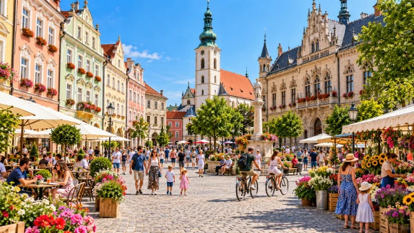
Valga contains several landmarks that help explain its history, including St John’s Church, the nineteenth-century wooden Town Hall and a railway tradition that connected the settlement with wider Baltic transport networks. Valka has its own civic spaces and Latvian cultural institutions, while the zone directly around the international boundary has become a point of interest in its own right. Visitors encounter Estonian and Latvian place names, public services and languages within a remarkably small area, making the distinction between the two states easy to notice without creating a sense of geographical distance.
How the twin-town centre turns a border into shared public space
The most telling modern feature is the common public area created around the border. Valga’s central square opened in 2018 and forms part of a wider effort to connect spaces used by residents of both towns. Paths, seating, play areas and landscaped sections encourage people to treat the frontier as a meeting point rather than the end of a city. The state boundary can still be identified, but several features make its unusual position easy to understand, including spots where a person can stand extremely close to both countries at once.
That relaxed appearance should not obscure the complicated history behind it. The division of 1920 separated residents and institutions that had previously belonged to one town. Soviet occupation later changed the practical meaning of the frontier because Estonia and Latvia were incorporated into the same state. The restoration of Estonian and Latvian independence in 1991 re-established an international boundary, while Schengen membership in 2007 altered daily movement once again. The present-day townscape is therefore the result of several political eras layered over the same streets, rail links and neighbourhoods.
For travellers interested in culture rather than a long checklist of monuments, Valga–Valka offers something different from larger historic centres. Its character comes from scale and immediacy. A short walk can lead from Estonian civic architecture to Latvian streets, from one national language to another and from a visible border marker to a shared park or public event space. Together with Görlitz–Zgorzelec and Cieszyn–Český Těšín, Valga–Valka demonstrates why Europe’s divided cities are more than geographical curiosities. They are places where changing borders, mixed communities and modern cross-border cooperation can still be read directly in ordinary urban life.